This master’s Thesis lab project delved into the changing landscape of Kamatira Forest in West Pokot County, Kenya. Leveraging earth observation data and machine learning, we set out to understand how and why this vital ecosystem has changed between 1990 and 2024. The research, GIS and Remote Sensing (IGGReS), provides a detailed look at the forces driving these shifts.
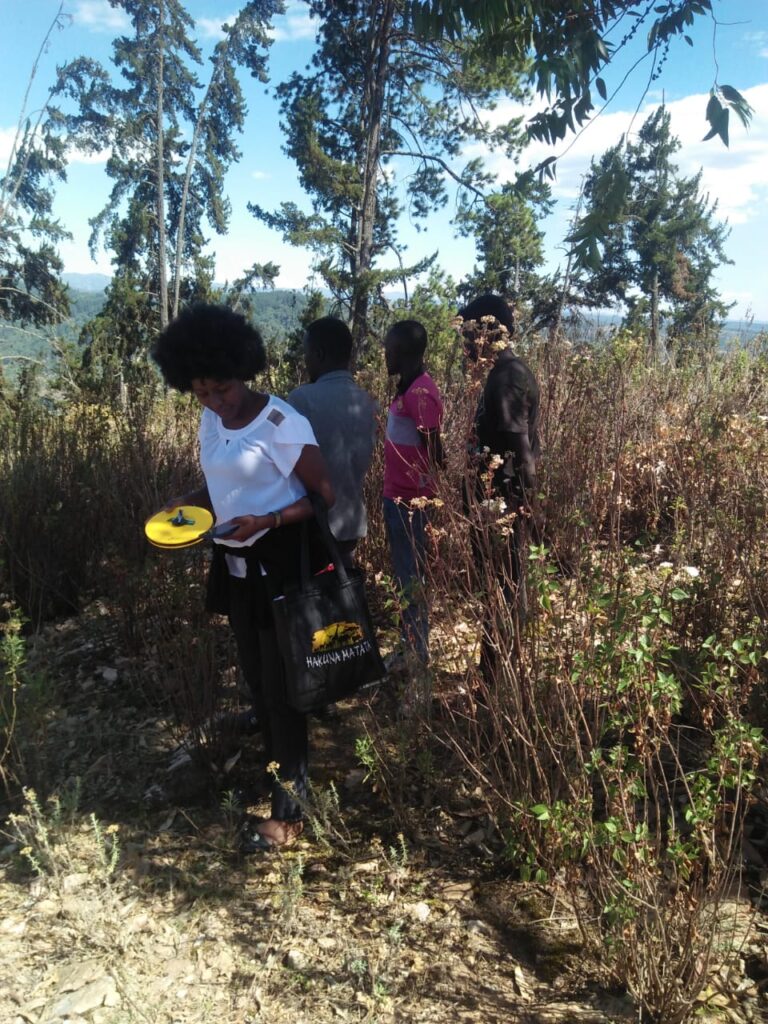
We used tools like Google Earth Engine and ArcGIS Pro to analyze satellite imagery, classifying land use and land cover with high accuracy. This process involved not only a technical analysis of the data but also incorporating field-based ground truths and questionnaire surveys to provide a holistic view. The key insight is that Kamatira’s dense forest is giving way to open forest, cropland, and settlements, a clear sign of human pressure.
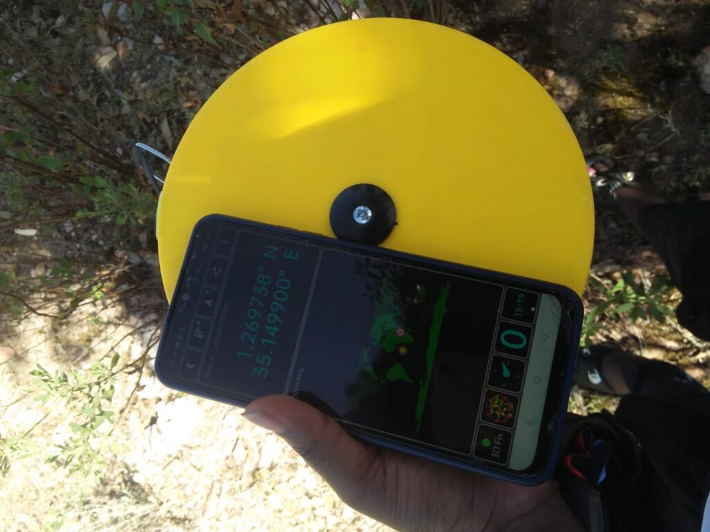
A high-accuracy GNSS antenna and smartphone.
The findings underscore a crucial message, forests are not just trees they are a reflection of human-environment interactions. The decline in forest cover is directly tied to population growth and the heavy reliance on firewood and charcoal. This highlights the urgent need for a shift towards sustainable practices and alternative livelihoods.
This work provides the data and insights needed to create evidence-based conservation strategies. It’s a call to action for local communities and policymakers to work together to protect this essential resource, contributing to global goals for climate action and life on land (SDGs 13 and 15).
Through this project, we learned the importance of bridging the gap between advanced technology and on-the-ground reality. It was a powerful reminder that behind every data point is a real community and a living ecosystem at risk.